Past Hikes:
Distance: about 12 mi. Round trip time: 6 to 8 hours
Trail start:
I recommend that you start at the Windfall trial and end at Montanan Creek. Go past the rifle range on Montana Creek road, and the road ends at the trail head.
Trail info:
So, with this trail, you get a little bit of everything. The trail starts off at Windfall with a nice maintained trail and boardwalk. The trail is used very often, and it shows in the hard packed dirt and nice bridges. Alone, windfall is only about 3 miles one way. You will come to a Y in the road, and there is a sign directing you to the cabin on the left. When you get closer to it, there is a set of stairs that takes you down to the lake and the cabin sits right at the edge along with a dock. If you keep going strait and don’t go down the stairs, you are then on your way to Montana creek.
Shortly after you pass the cabin, there is a part of the trail where some rather large tress have fallen down and blocked the trail. We had to bush-whack around, and it took us a few to get back on the trial. This is where the bugs started to get bad. It was muskeg-ie and very wet. The vegetation is leaning in on the trail, so it was a little over grown. It was unfortunate for the person who went first, because the spider webs across the trail were numerous and unrelenting.
After we got through the bush-whacking, it went along a river and turned into an old-growth forest. The trail was less overgrown, and the bugs died way down. The trail went like this for a while, then we even went through a few small meadows. I found an old deer skull with antlers, but i’m not sure where the rest of the deer was. We didn’t see any wildlife in the meadows, though we did pause to look.
After the meadows, we dipped back into the tress, and this is where we met the dreaded snow. We were post-holing along the river for at least a mile up to our crotches. It was very slow going and we should have taken it as a sign that there were no people tracks before us. So this let us know we were the first ones this year to do the trek from Windfall to Montana. Not sure that was a good thing.
After the snow slowed us down and we were dropping in elevation, we meandered along the river for the rest of the way to Montana Creek. Well, maybe ‘meander’ is the wrong word. We skirted the steep hillside on the small goat trial and at one point we actually had to forge the river because the trees had fallen down the hillside and taken the land and trail with it. We had a 2 year old Rottweiler, an 8 year old Rottweiler / Akita, and Kiska. We didn’t feel that we could safely get across the trail ourselves, let along with the dogs. So we backtracked a little ways, and forged the river in a safe-er spot (no spot was really ‘safe’). For me, it was up to my butt cheeks, but luckily I was wearing my Under Armor shorts (they are kind of glorified underwear), so they didn’t get wet and my legs dried pretty quickly. But our boots were full of water.
When we found a good place to cross back to the trail, we were ready for the cold water and luckily Kiska was wearing her doggy backpack that Aunt Annie gave her, so she had a handle we could hold onto so she didn’t get swept down river. Compared to Bruiser and Teddy, she is pretty short and doesn’t weigh much.
The last 3-mile slog to the end of the trail wasn’t as bad as I thought it would be. The trail seemed better, and it was nice to know we were almost there. The last mile is more of a road, so that was a welcomed sign. At that point, we cracked our victory beer, and enjoyed our soggy, bitten accomplishment.
What I learned: bring bug dope, have someone else go first for spider webs, plan on crossing the river twice, and I learned that I can walk for 3 miles with water-logged hikers and I didn’t get blisters. Oh, and you may want to bring a pair of dry shoes and socks.
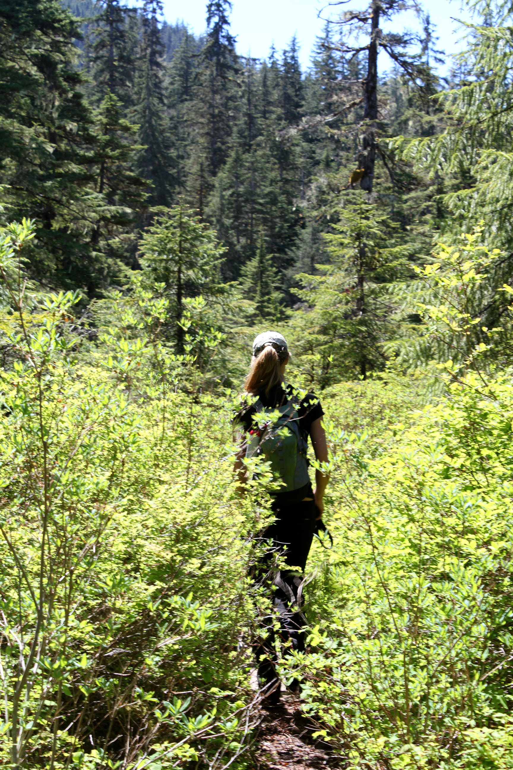
Annie just past the cabin. This was spider-heaven. Yuck.
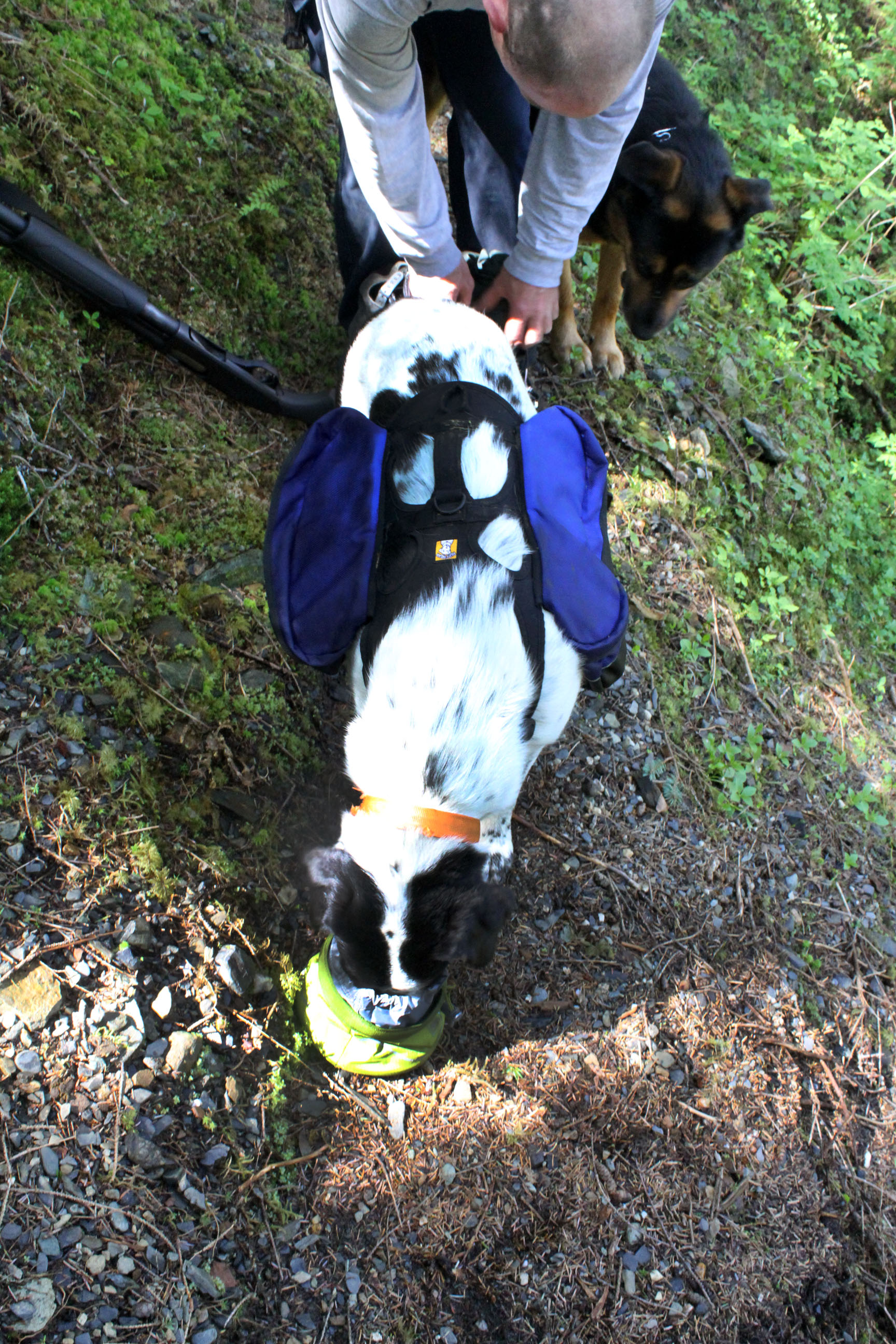
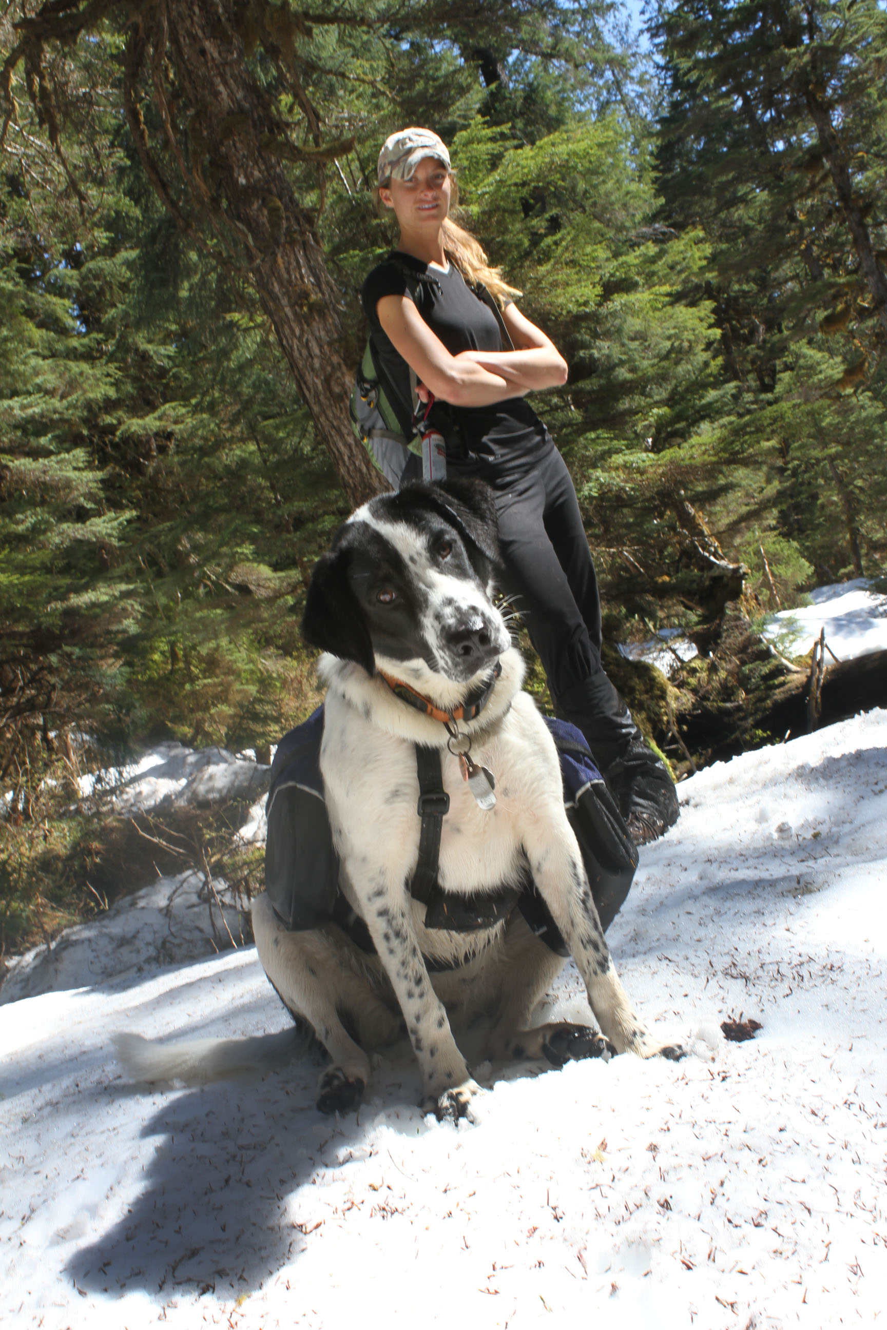
Kiska and her food bowl from REI Outlet. On longer hikes, please don’t forget that if you get hungry, your furry friend might be getting hungry too. And with the backpack, she carried her own food, water bowl, and a small 8oz water bottle just in case there wasn’t water along the way. Her backpack also has a handle at the top that we did use so we didn’t lose her down river. Also, at the end I clipped her bag to mine because she was pretty pooped, so the straps were helpful in doing that. Thanks Annie for the backpack!!!
There were a few blind corners, so the dogs would wait for us. Make sure that you make noise when going around the corners, as obviously you can’t see what’s on the other side until you get there.
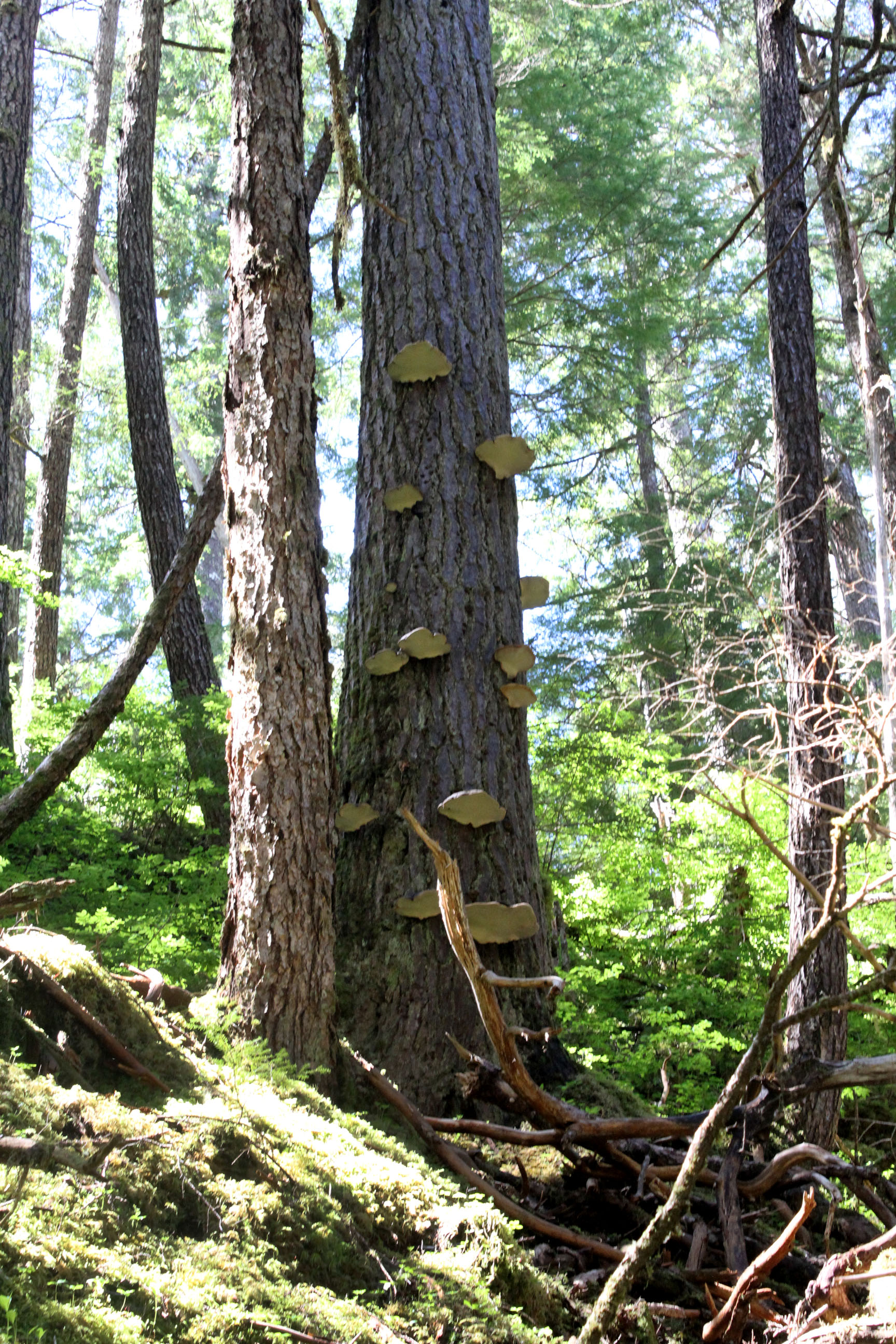
Just a cool picture.
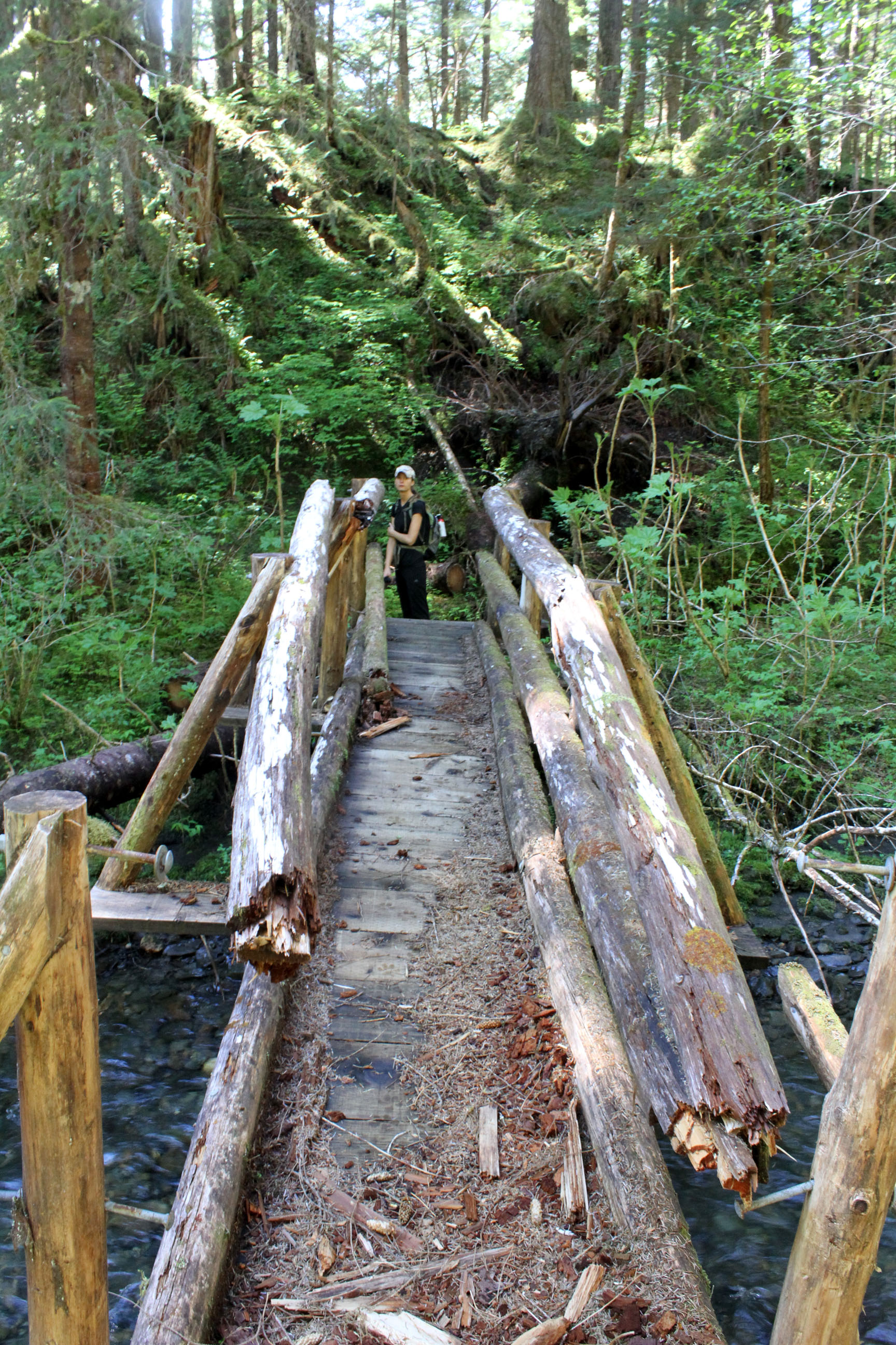
This bridge was by far the most sketchy. But, it didn’t shake and seemed structurally sound, as long as you didn’t look at the railing. Still, we went one at a time.
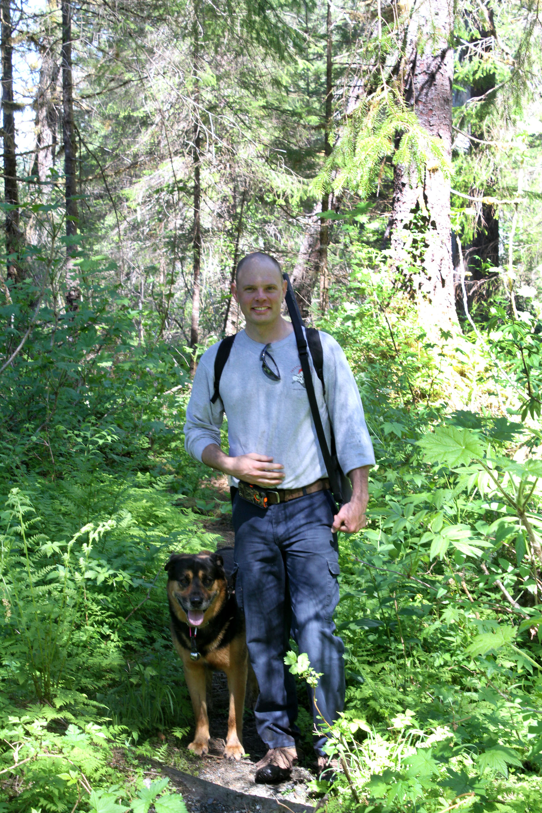
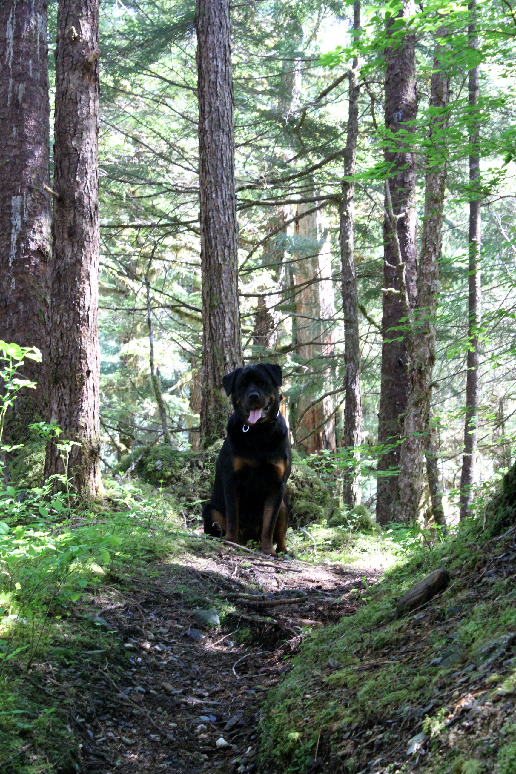
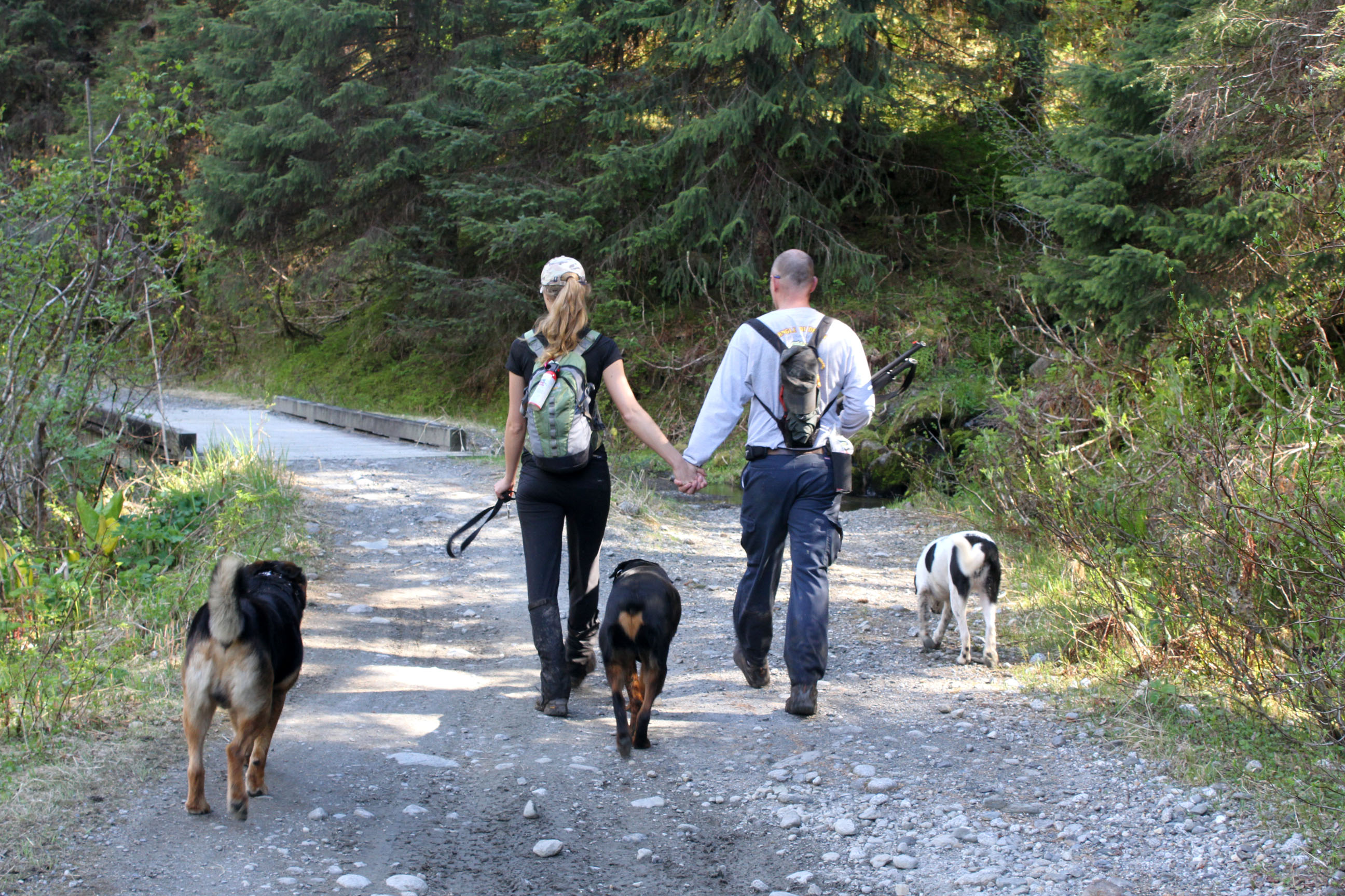
Carl and Teddy. Our fearless protectors.
One of the more open parts. These were few and far between.
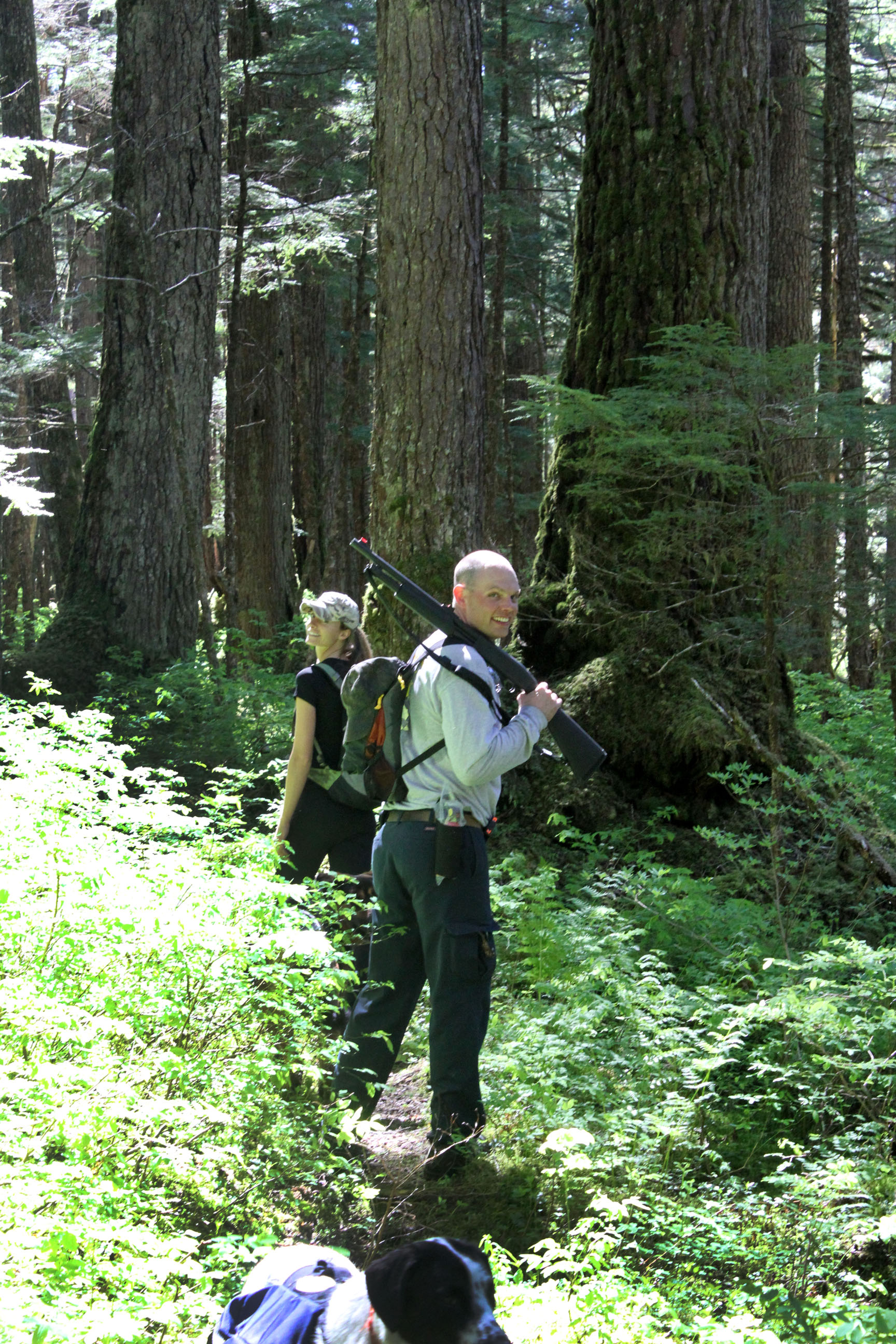
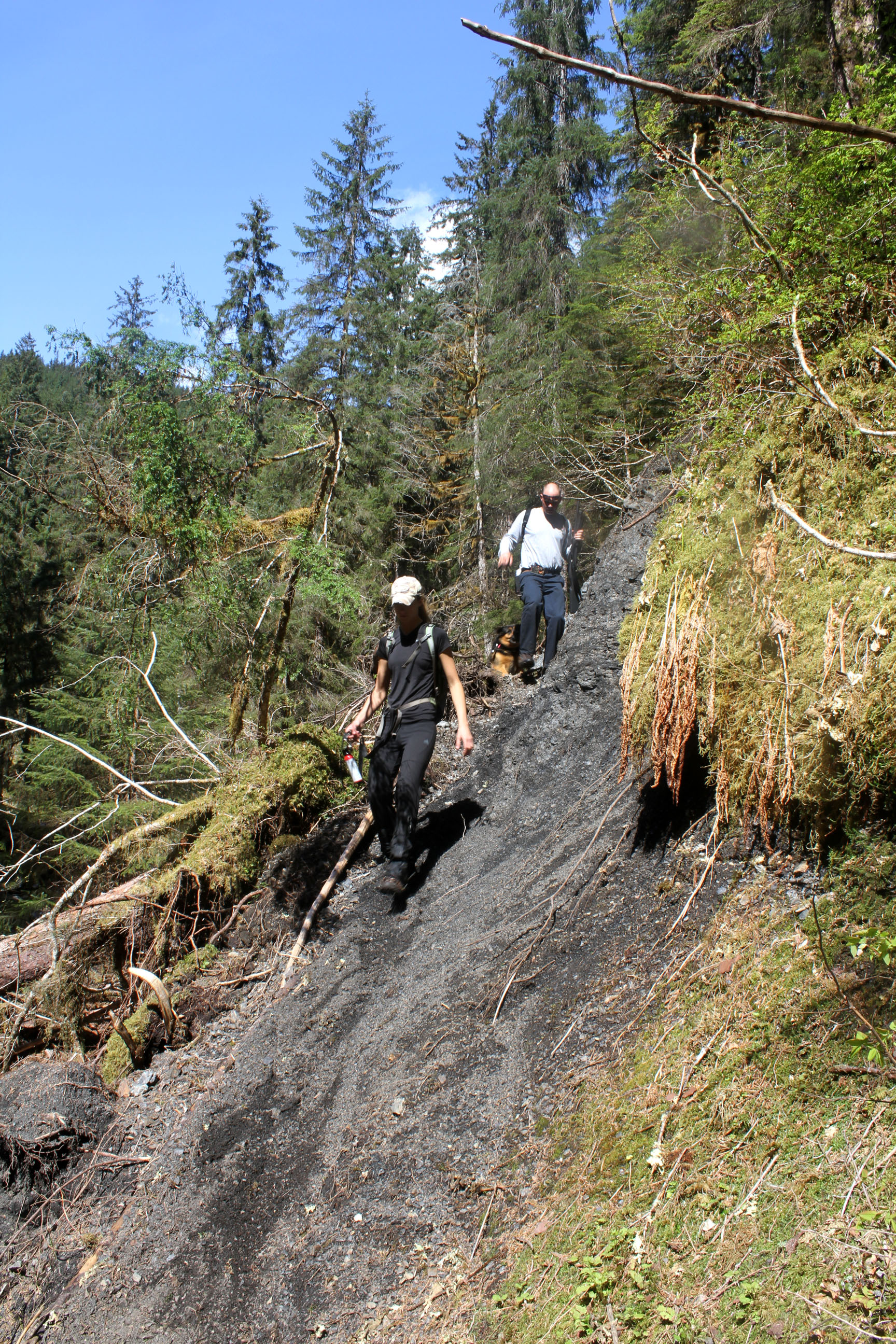
It was Carl’s “man job” to carry the shotgun and protects us women folk. There is a big brown bear that lives back here, but we never saw him, nor his tracks.

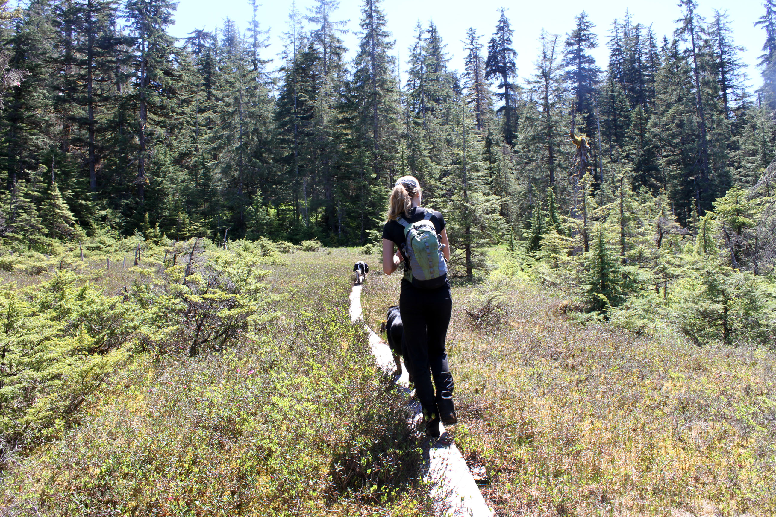
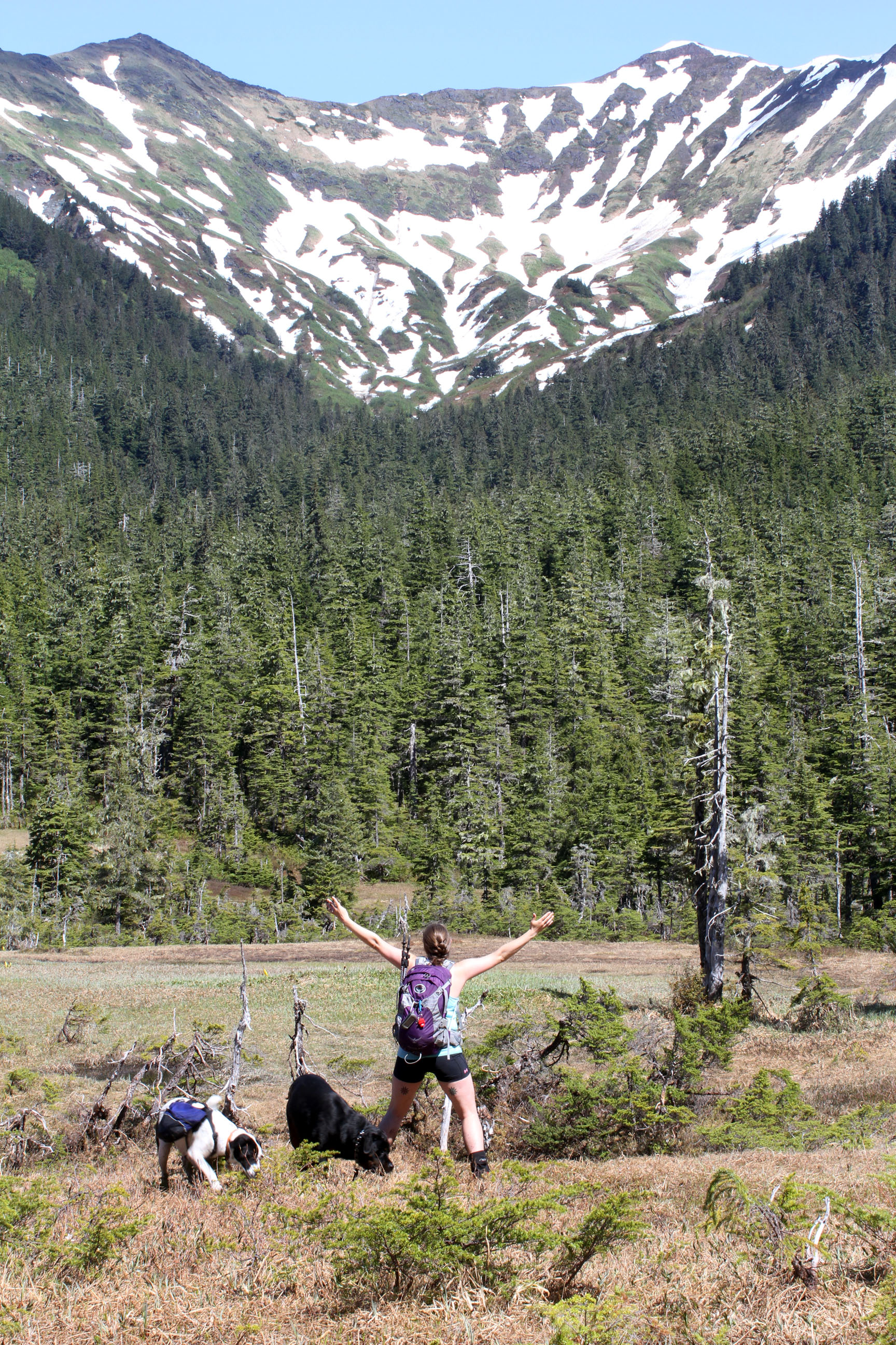
The ‘big’ meadows. There are a few of these connected together.
Yep, I live here! 🙂
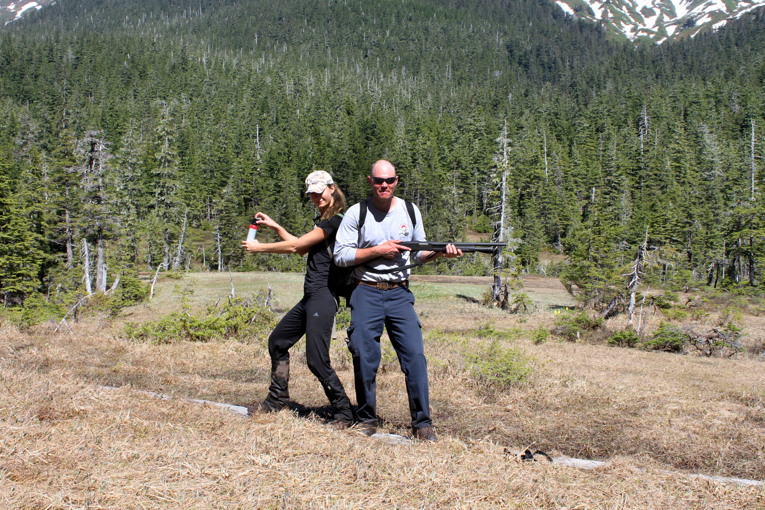
Annie with her bear spray and Carl with my shotgun. Don’t mess with those two!

So, while post-holing, Carl got his feet wet. He was NOT a fan. There are a few bridges like this along the way.
“Dude, mom, really? How many pictures are you going to take?” The snow could hold our weight about half the time. This made it slow going for about a mile.
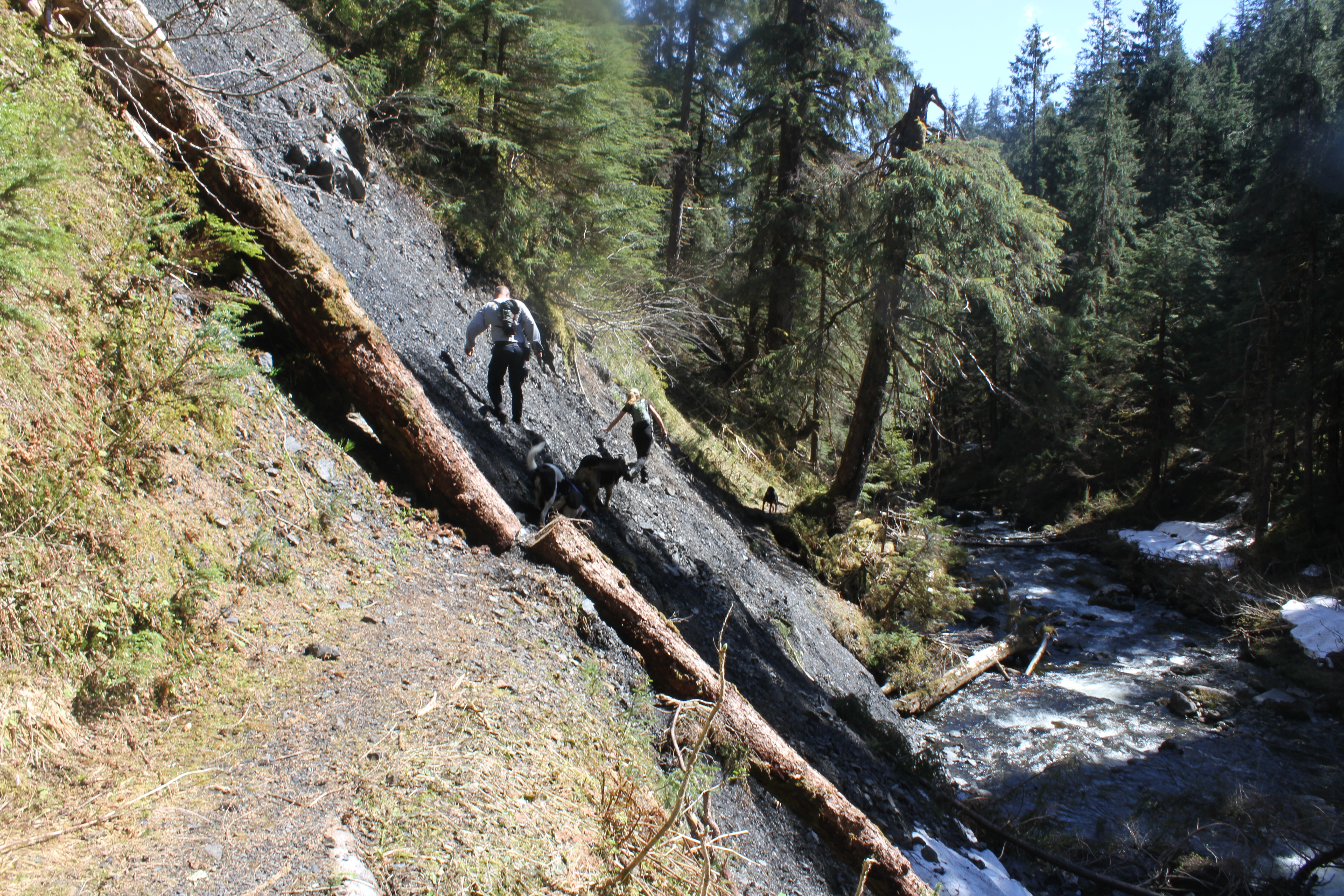
This is towards the Montanan Creek end (see creek bottom right), and this is where things started to get sketchy.

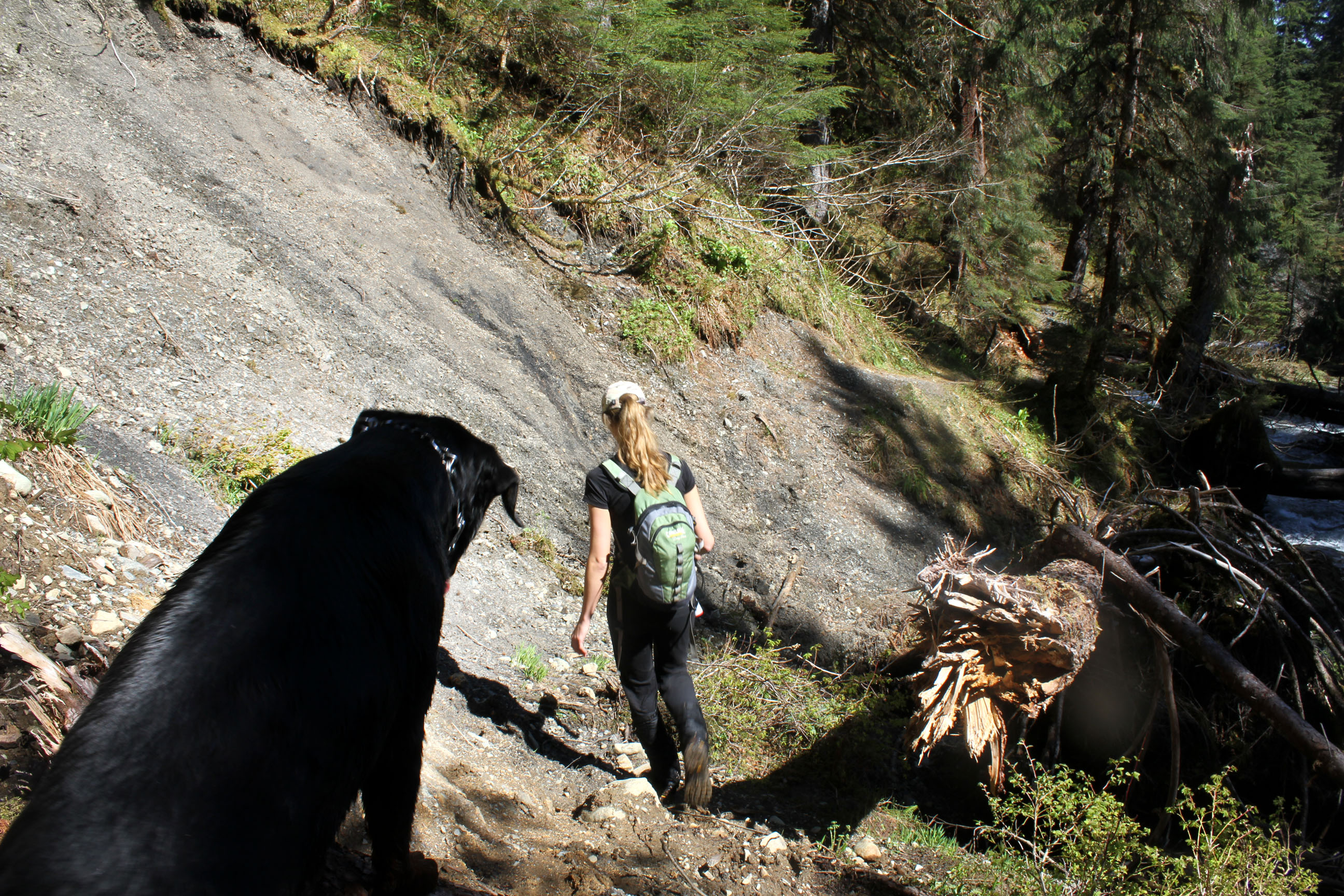
This is way steeper than it looks. And the rocks just give out under your feet.
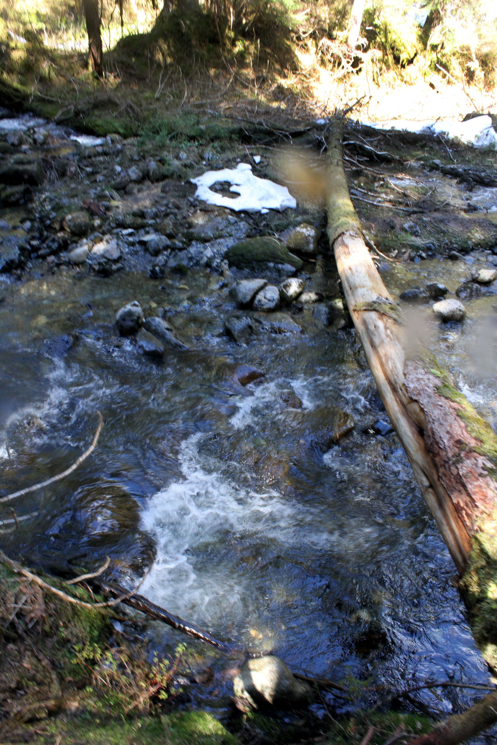
This is where we chose for our first river crossing. Carl walked along the fallen tree, us ladies did not.
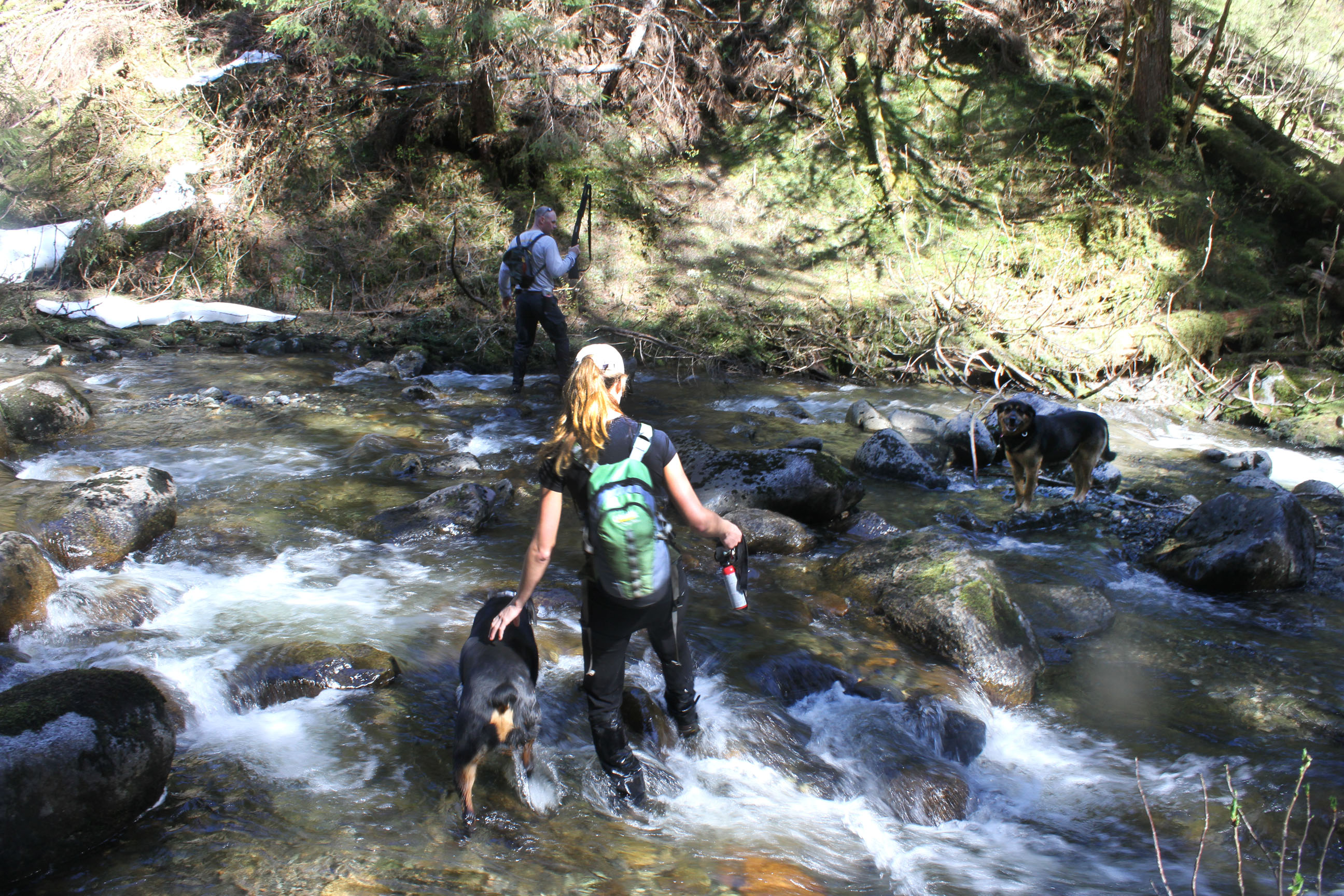
Second river crossing. You can see Carl almost to the other side, Teddy waiting for Annie in a shallow spot (Akita’s do not like water, poor Teddy), and Bruiser crossing with his mom Annie.
“Hey mom, you go first.”
Across the river it was easier to see what our side looked like. The land is literally just falling into the river.
Some parts of the trail were narrow, steep, and downhill! What could possibly go wrong?
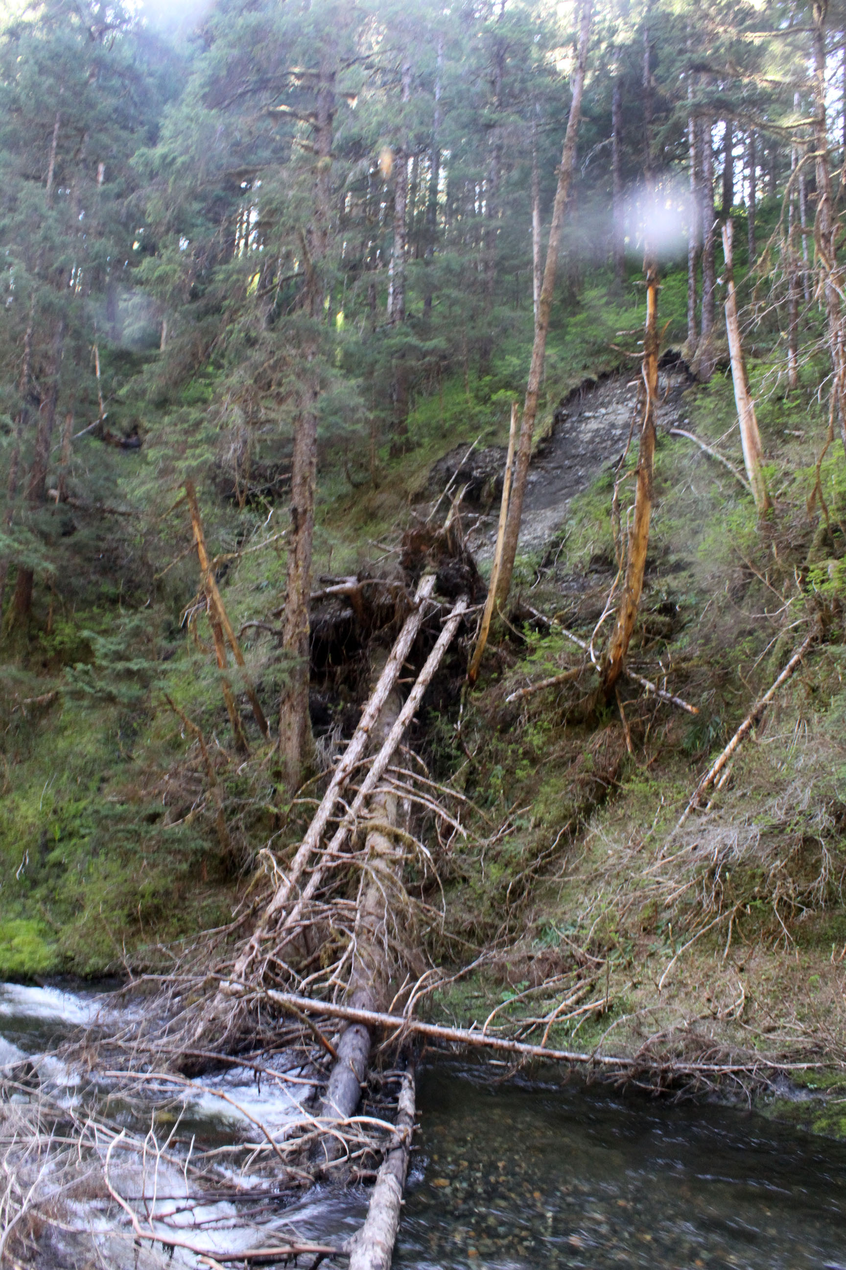
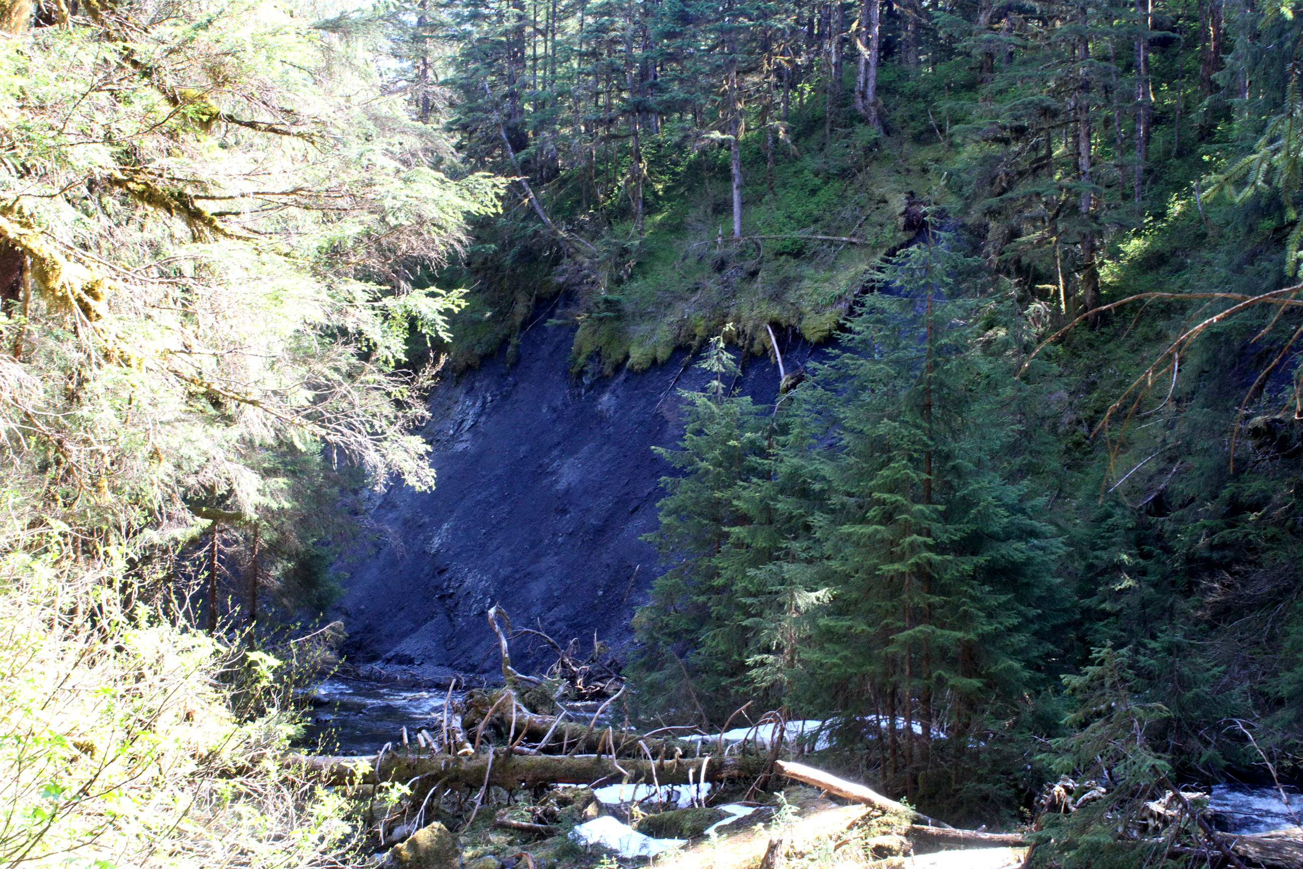
It’s the old trees falling that take out the trail and river bank.
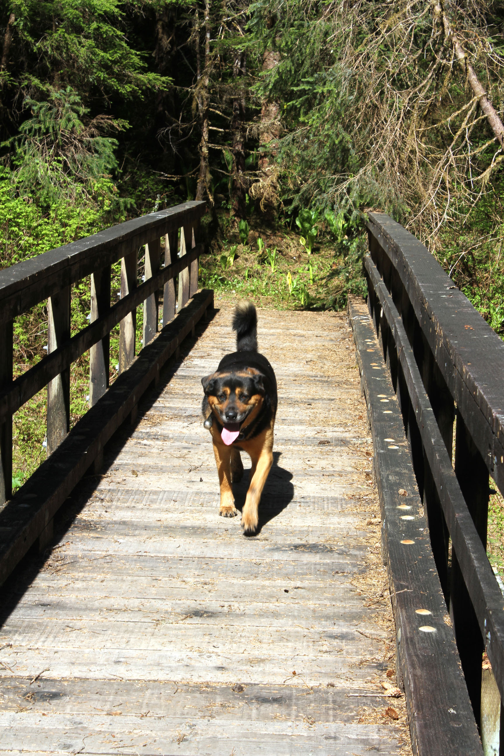
One of the nicer bridges towards the end.
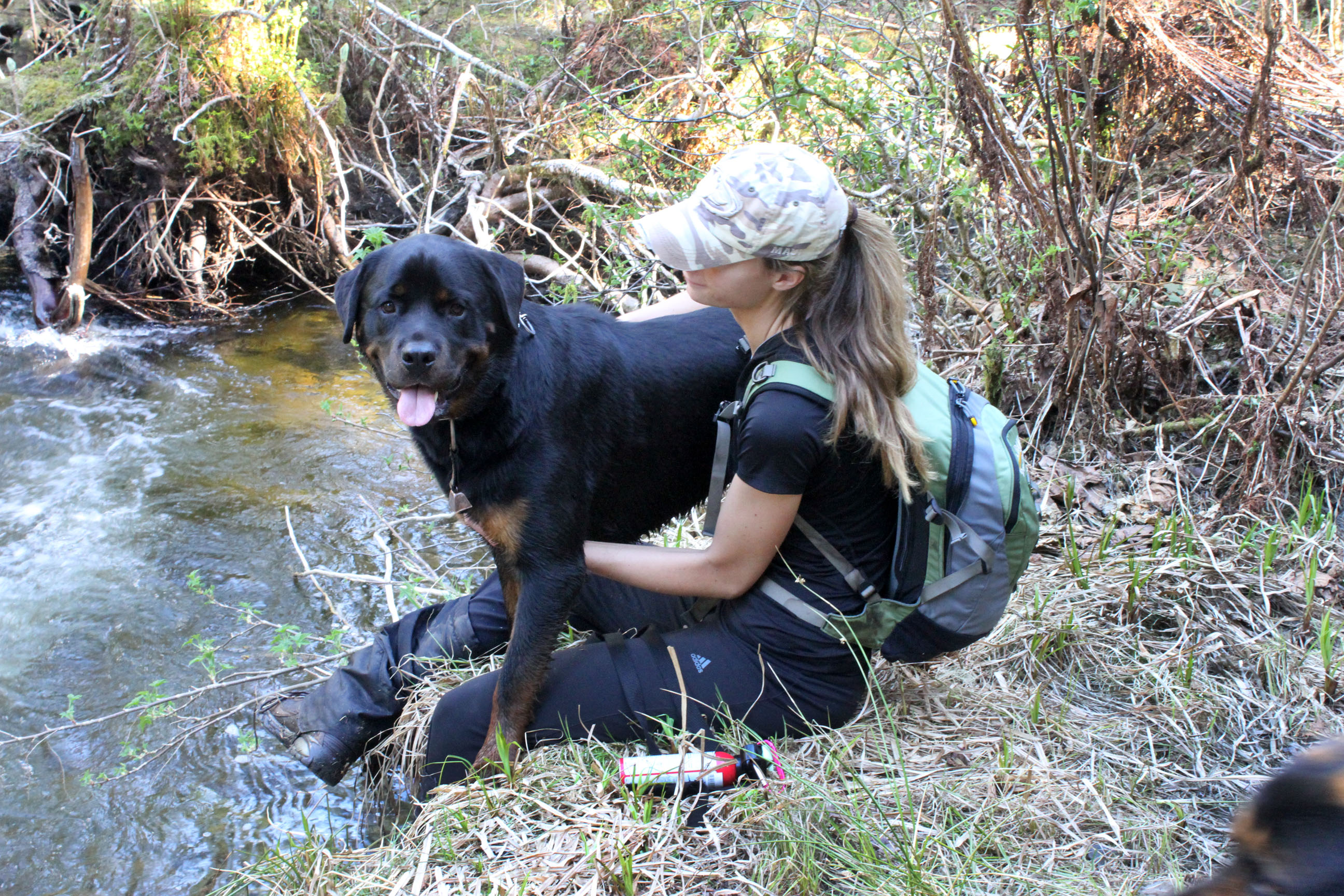
Bruiser boy and his mom Annie at our little pit-stop.

Dear Raspberry Wheat, You make hikes better knowing that at the end we will enjoy you. Totally worth the weight over 11 miles and 5.5 hours.

Apparently this is what hiking behind me looks like. Please note my shorts that are basically glorified under wear. They weren’t helpful when bush-whacking, so I got a few scratches. But hey, they didn’t get wet in the river crossing. 🙂
The road to the parking lot, about a mile from the Montana end. This is a nice way to finish out the hike.

This was cool, and on a hot sunny day it would be fun to relax here. Now that we know, if we do it again we may save our motivational beer until this part so we can sit here.
Wildlife:
Didn’t actually see any mammals. Which, I’m not sure sad about. Saw a lot of birds, heard a Hooter, and did our part of feed the local insect population.
